Antigua Guatemala
The colonial centre and its villages: San Pedro Las Huertas, San Felipe, Santa Ana, El Hato.
Antigua Guatemala and the Panchoy valley
We gather the listings from agencies, Encuentra24 and Facebook groups, so you don't have to check ten sites every morning.
The map
Each dot is a listing, placed where its source says it is, from the colonial centre to the estates of Alotenango. Zoom in to see the prices.
18 listings are not on the map: the source doesn't publish the exact location.
Hover over a dot to see the home; click to open it.Tap a dot to see the home. Move the map with two fingers.
The colonial centre and its villages: San Pedro Las Huertas, San Felipe, Santa Ana, El Hato.

Five minutes from the central park, with more space for the same price.
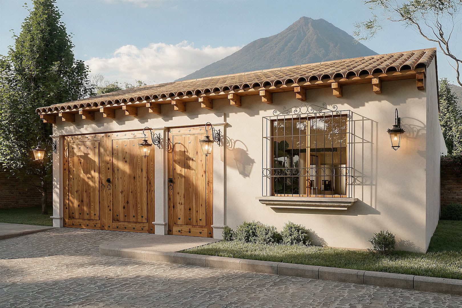
The first capital, at the foot of the Agua volcano. Land and family homes.
North of Jocotenango, the town of leather boots. Houses and land for less.
A Kaqchikel weaving town on the western slope, looking out over the valley.
Coffee and macadamia farms in the south of the valley, and large plots.
Between the Agua and Fuego volcanoes, with La Reunión and large estates.
On the slopes of the Agua volcano, above San Juan del Obispo.